Place and history
Inside Astura Peaks
The League learned that changes in the Astura weather affect fields and navigation far downstream. That dependence helped turn mountain observation into public policy.
Landmark or mapped region
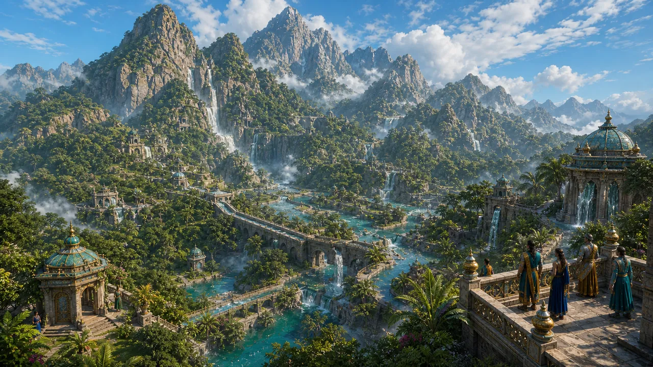
A broken ridge feeding several of Vaar-Kashai's rivers.
Place and history
The League learned that changes in the Astura weather affect fields and navigation far downstream. That dependence helped turn mountain observation into public policy.
The Astura Peaks form a jagged barrier between inland rivers and the Jade Sea coast. Narrow passes make travel possible, but landslides and cloud reduce reliable routes to a handful of local paths. Small communities survive through guiding, quarrying and highland exchange.
Claims on the peaks are defined less by lines than by access to passes, springs and winter shelters. Vaar-Kashai and neighbouring highland authorities can agree on a map while still disputing who may patrol a particular trail.
The range contains natural caves and older cut chambers. Most are ordinary shelters or quarries, but rumours of Essan deposits attract prospectors. Myaks need only encourage those rumours in the wrong valley to draw guards away from the route they actually intend to use.