Place and history
Inside Alderdash, western approach
The repeated label may identify a river, two settlements or a settlement and its watercourse.
Landmark or mapped region
The first of two Alderdash labels beside the upper river approaches.
Place and history
The repeated label may identify a river, two settlements or a settlement and its watercourse.
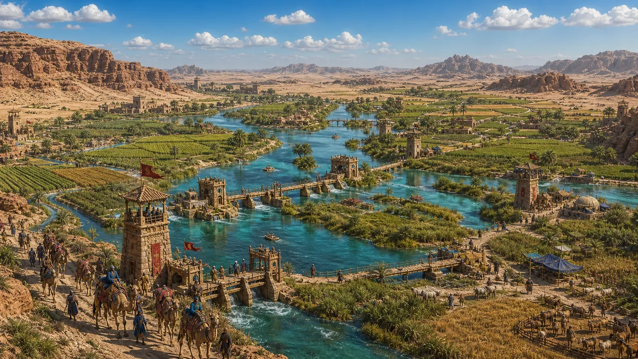
The western Alderdash lies where routes from the central plains descend towards Lignett's controlled waters. Old embankments and fragments of paved road suggest that the crossing once belonged to a larger network whose political centre has disappeared.
Local guides, Lignett officials and neighbouring patrols each enforce part of the route. Travellers may pay several tolls without receiving protection from any single power. This fragmented authority encourages private guards and makes disputes difficult to settle.
Survey marks and buried foundations may preserve information about older Essan engineering. Scholars need access from more than one jurisdiction to study them properly. Myak agents benefit when governments guard their own fragment of evidence and refuse to compare it with the rest.