City or settlement

Sarkol

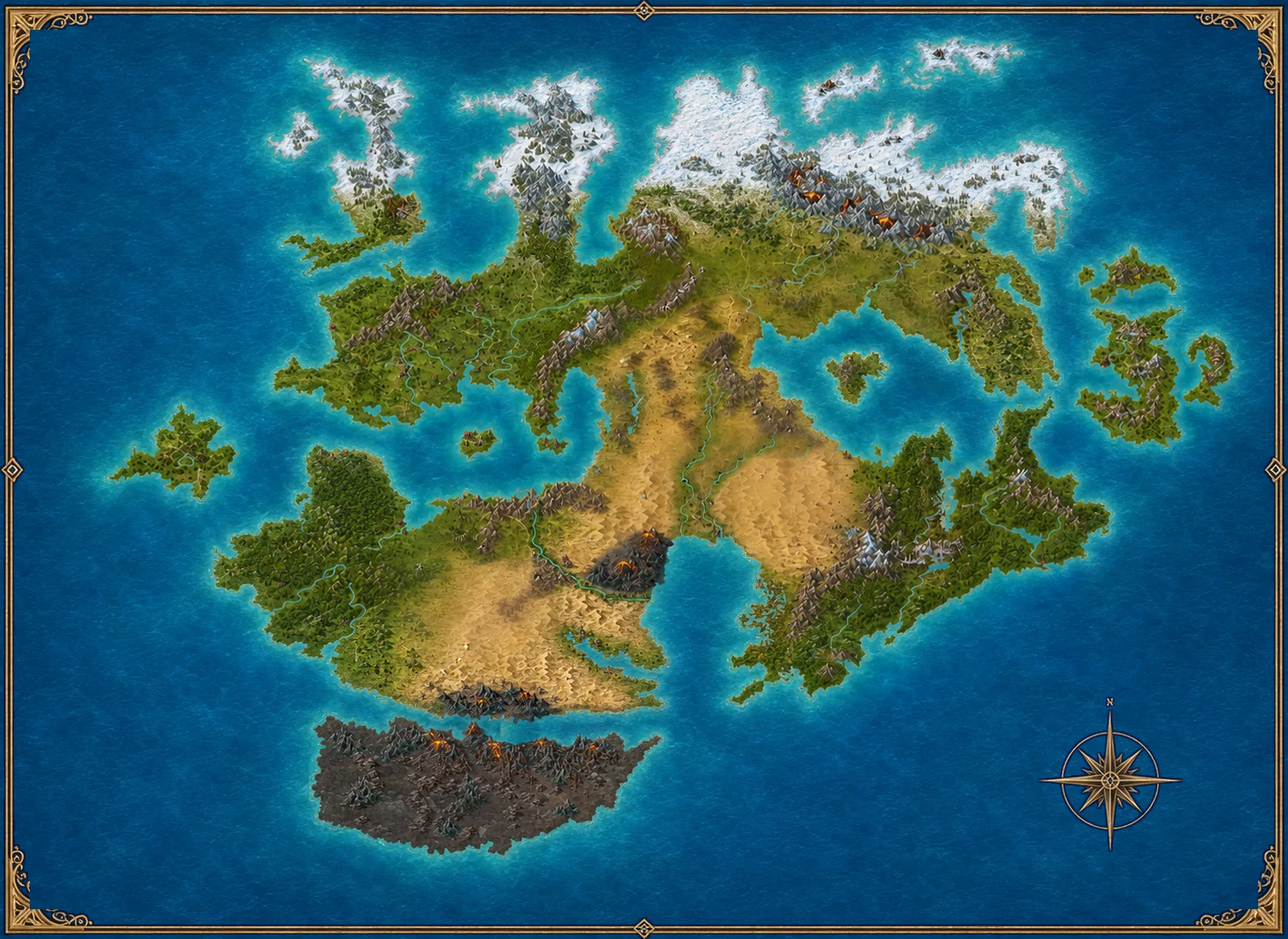
A mapped settlement on the peninsula roads south of the imperial heartland.
city
Closer world-map view showing the position of SarkolSarkol

Atlas history

What is known

Sarkol is map-established. The working Atlas treats it as a road and coastal watch town, but no manuscript authority yet fixes that role.

History and position

Sarkol is map-established. The working Atlas treats it as a road and coastal watch town, but no manuscript authority yet fixes that role. This settlement is shown in its controlling map position, and the Atlas keeps later interpretation separate from what the map or manuscripts already establish.

Land, work and movement

A mapped settlement on the peninsula roads south of the imperial heartland. Its roads, waterways, seasonal conditions and neighbouring terrain would shape how people travel, work and defend themselves. The details shown here are a working foundation for later stories, not a claim that every custom has already been fixed in canon.

Essan and political pressure

Any Essan discovery here would immediately raise questions of custody, access and outside influence. Local authorities would need to distinguish genuine scholarship from relic hunting, while Myaks could exploit disputed borders, private ambition or incomplete records. Map-established name and position. The historical interpretation remains working worldbuilding until manuscript or author confirmation.

Return to the interactive world map